Geoinformatics can be exciting!
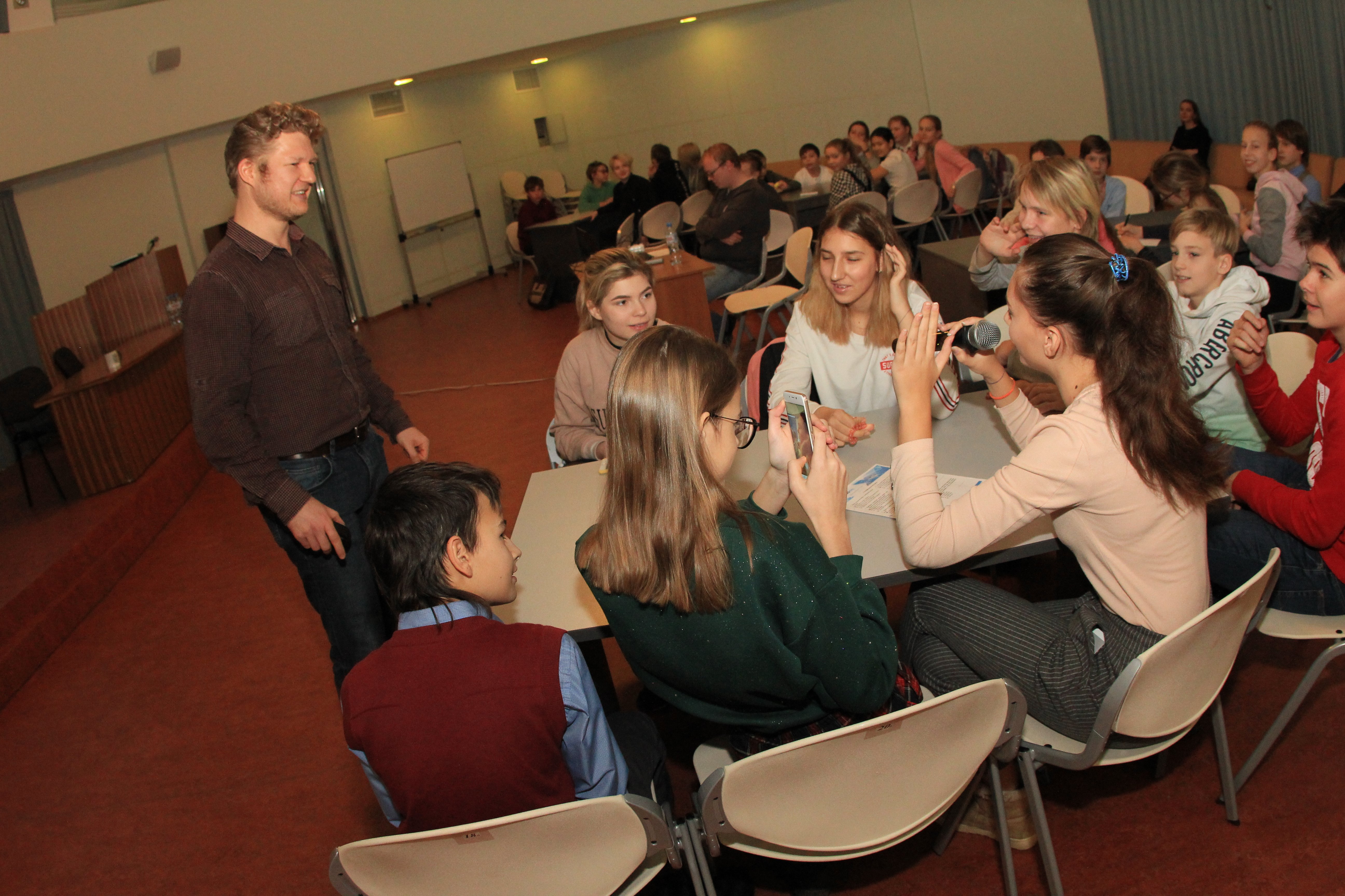
One of the good Data East’s traditions on the International GIS Day is organizing demonstration geoinformatics lessons for Novosibirsk school children.
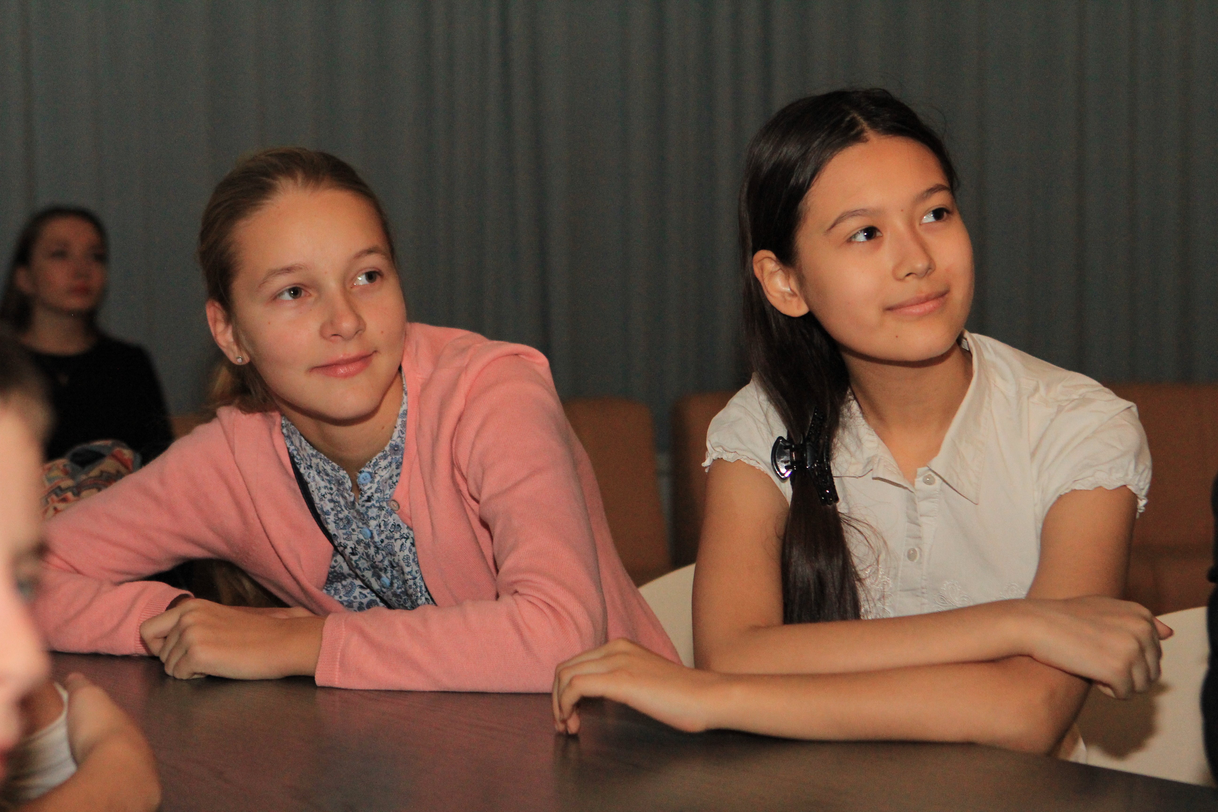
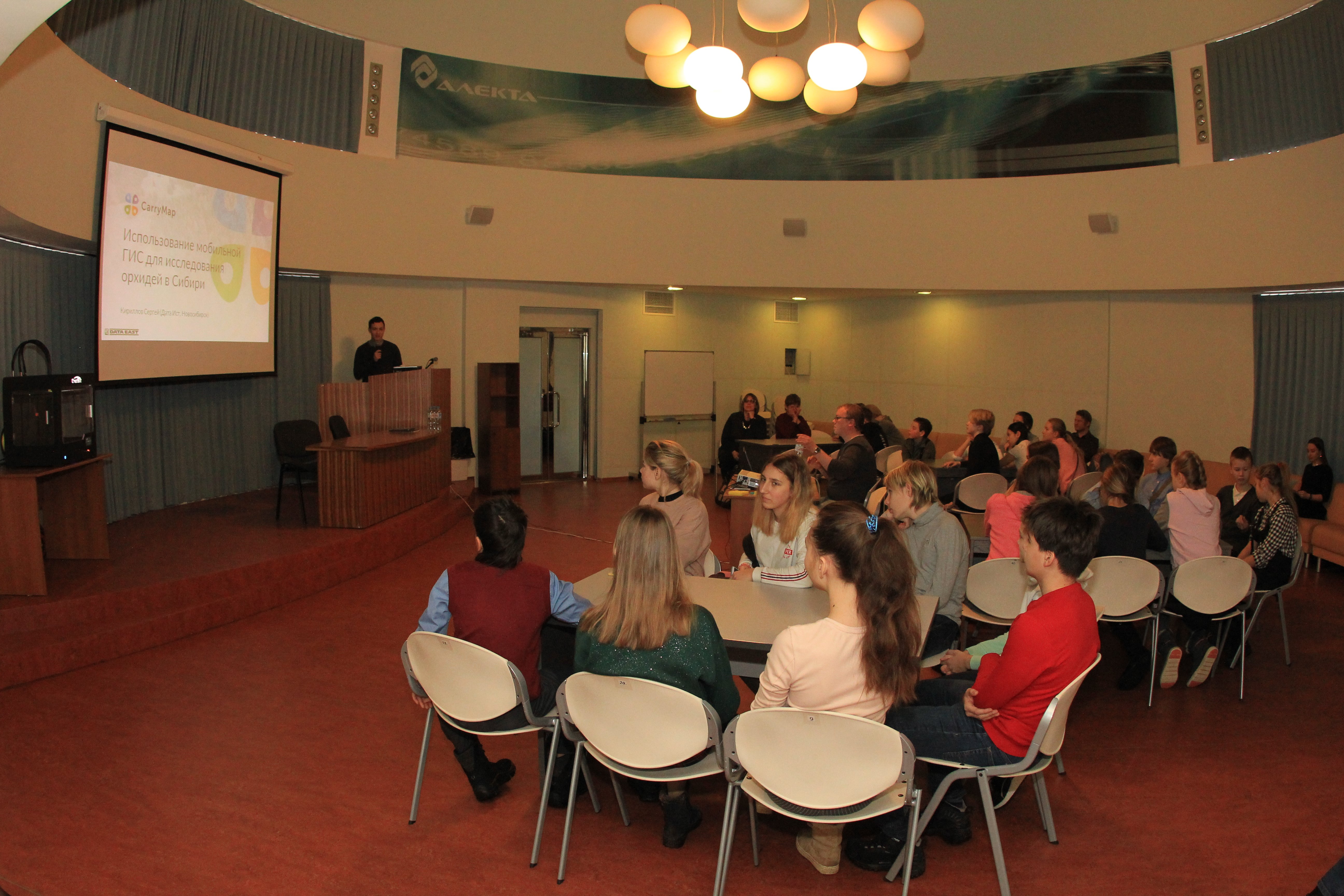
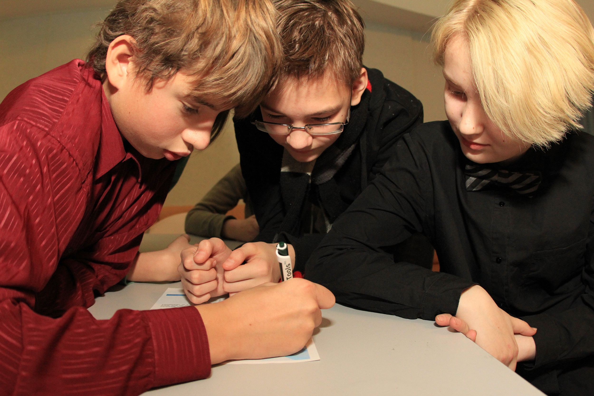
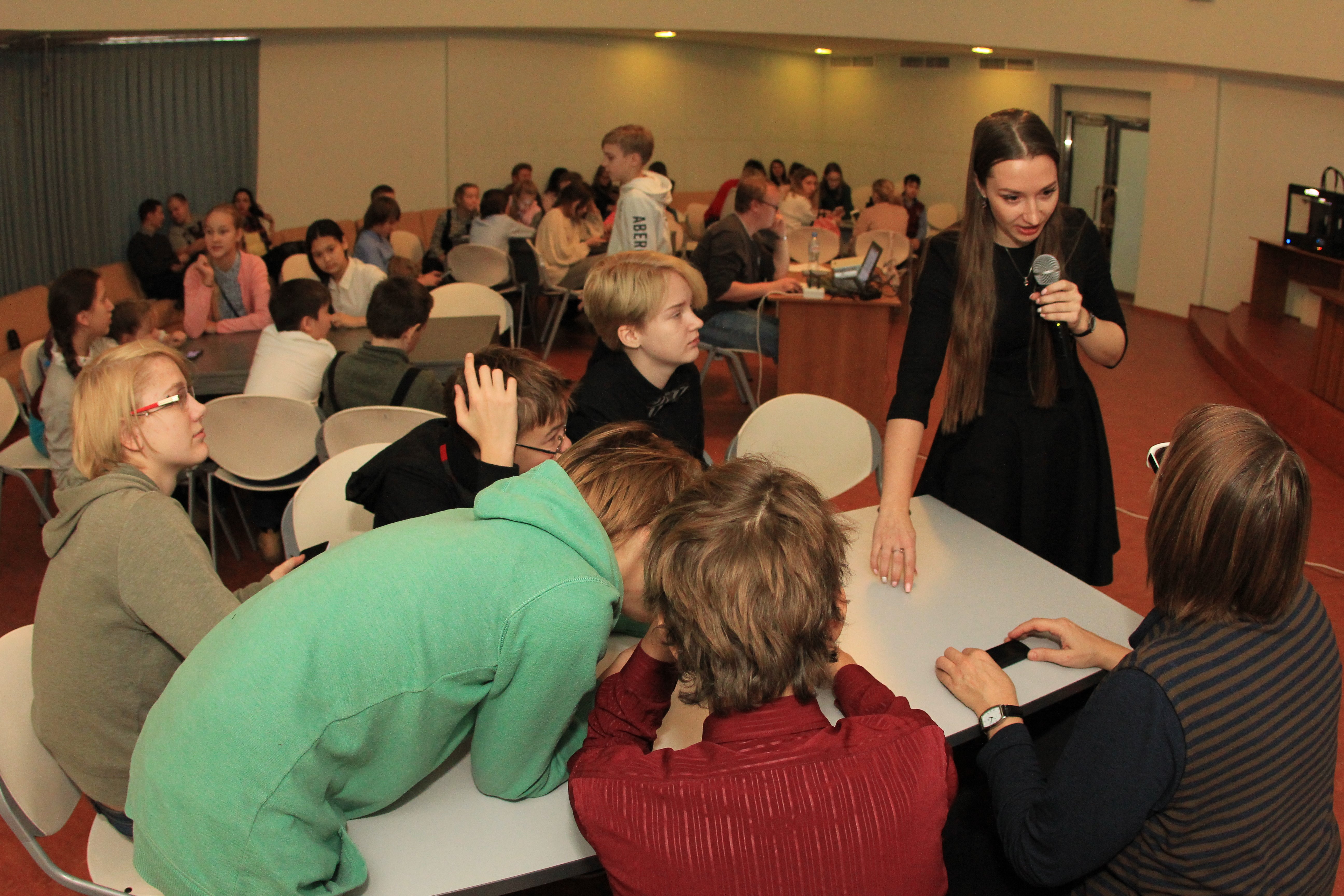
So, today we’ve had a busy but cheerful day at our office. Children learned about top-notch GIS technologies and tested their knowledge in a tricky geography quiz. During the geoinformatics lessons they learned how to create mobile maps for scientists, geologists, travelers and other users. Our young guests were excited with a lecture about wild orchids growing in Siberia and found by Novosibirsk biologists and the way how GIS technologies help keep this important data about rare flowers up-to-date.
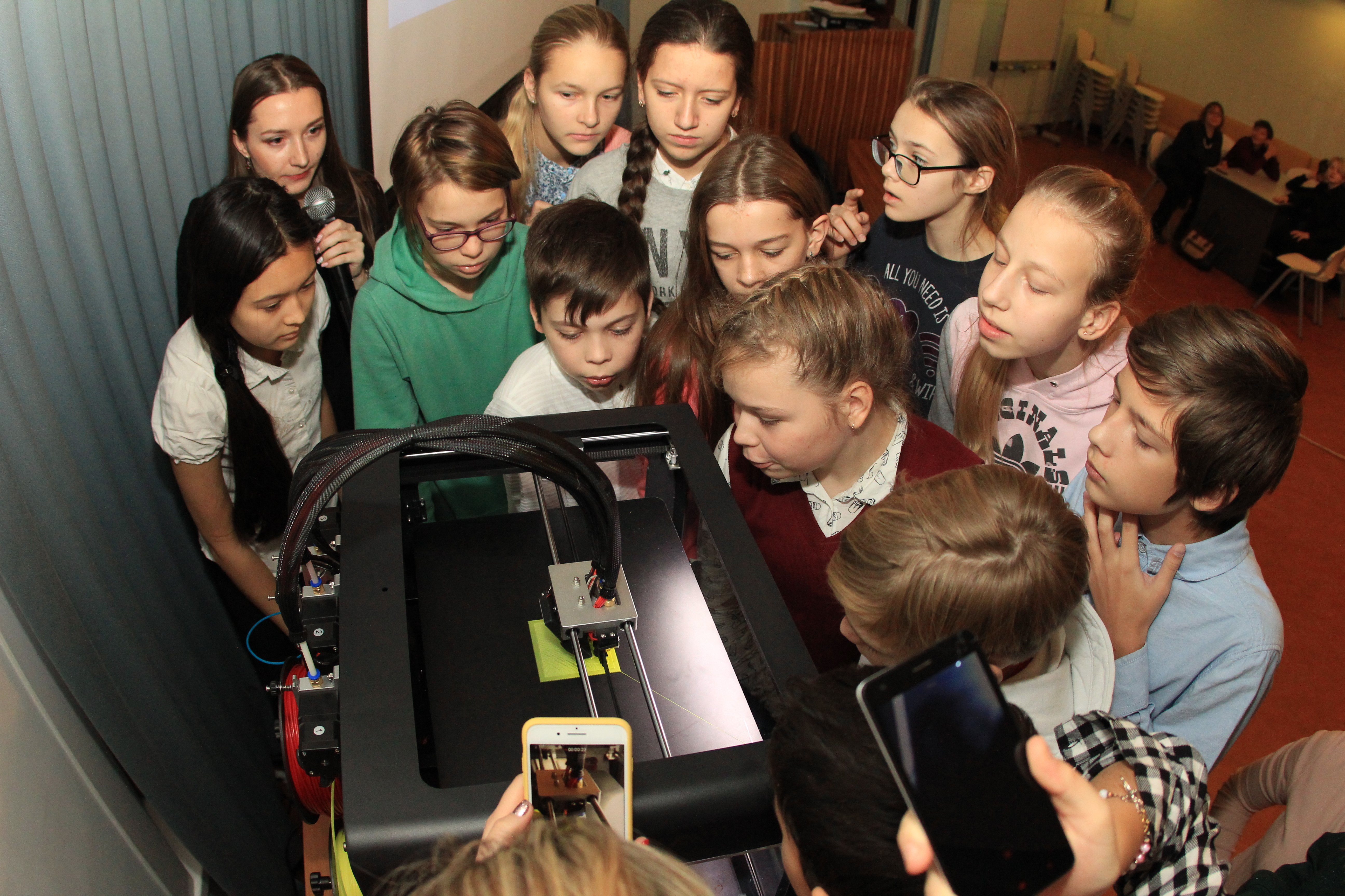
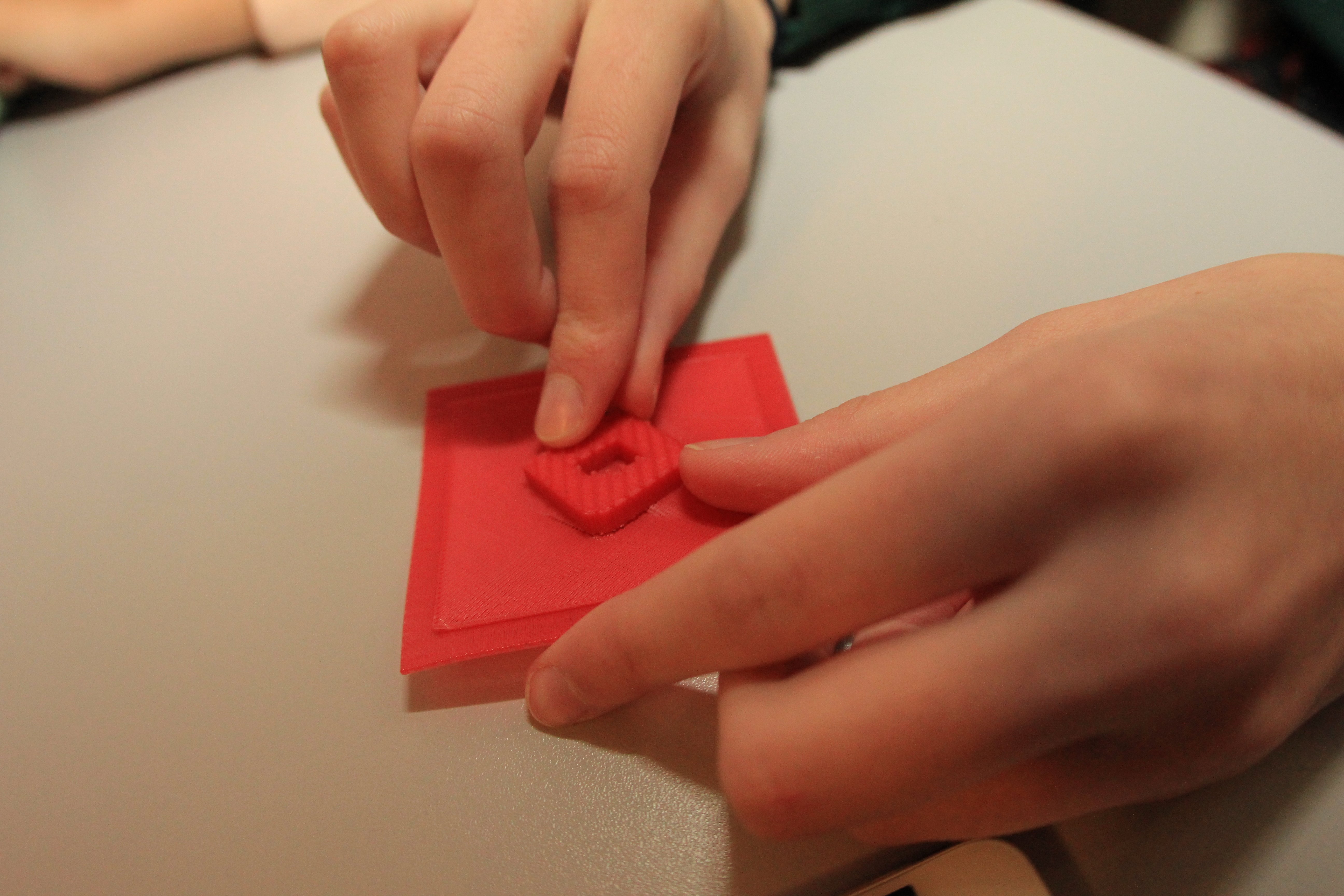
They also learned about tactile maps for blind people and about the role these maps play in education and social adaptation of visually challenged people. And the live demonstration of the 3D printer work was the icing on the cake! The process of printing the building miniature on the map was really fascinating.
‘It was so interesting to know how maps for blind people are created and how GIS help find the optimal place to grow carrots. The questions in the geography quiz were quite challenging and tricky, for example, I was surprised that in the past Novosibirsk occupied two time zones’, said Maria, one of the young guests.
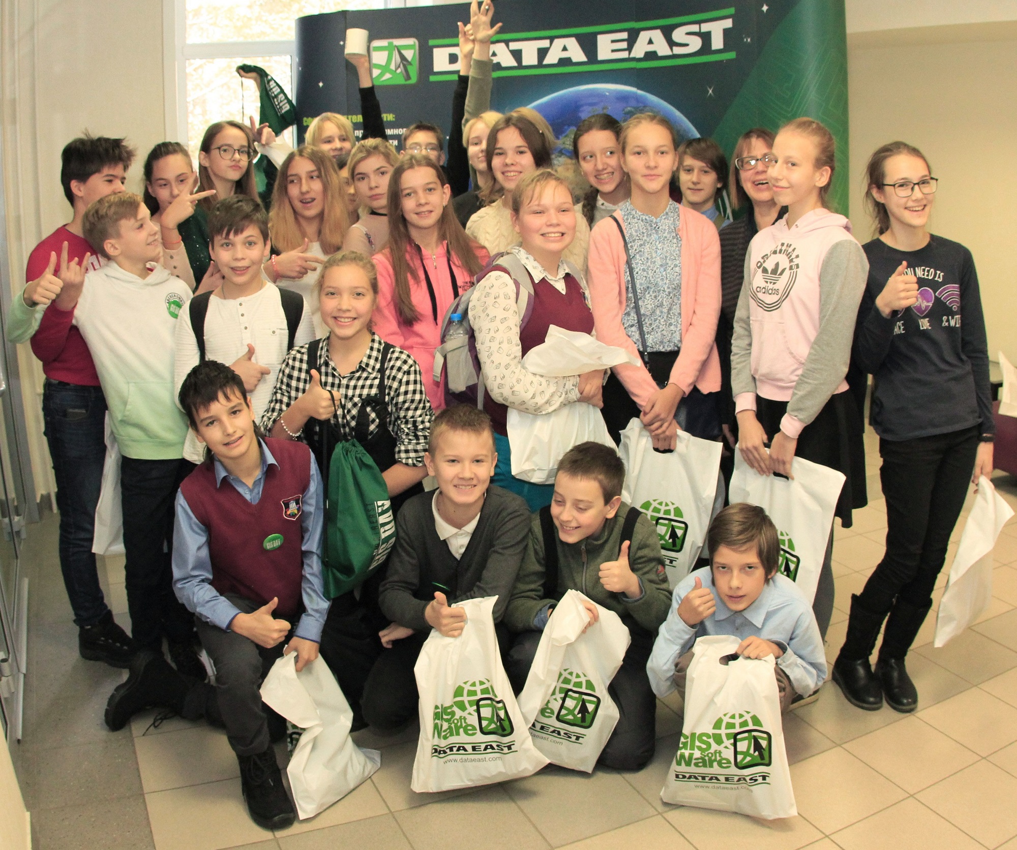
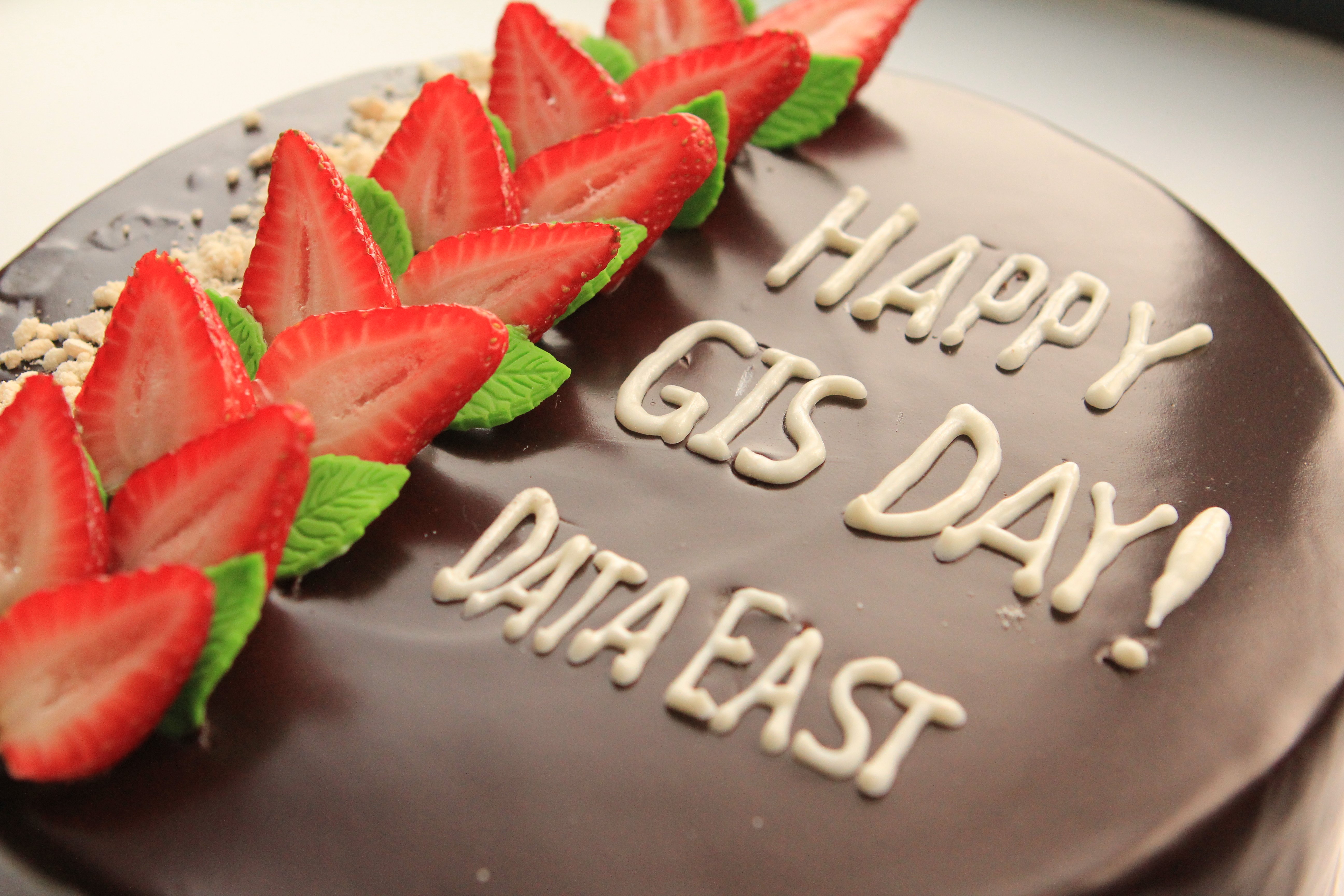
And of course, at the end of the event there was a celebration GIS Day cake and company gifts for all the children.