Success stories

System for managing geodata of oil-production company
An ArcGIS based system provided for managing spatial data on land use and real estate objects, facilities for field infrastructure development, current geodetic and mine surveying data, and cartographic products on a corporate level.
Modular structure of this system enables the data completeness, relevance, and reliability while managing activity of oil and gas production companies.
Mobile guide on Novosibirsk Zoo
The Novosibirsk Zoo, one of the three biggest zoos in Russia is a world-renowned scientific institution and a popular tourist’s attraction. Our zoo has over 10 000 animals and birds of 756 species. The zoo is an active participant of 67 international captive breeding programs for endangered species.
The Zoo Nsk, a mobile guide on the zoo territory available for on Android and Apple iOS devices, was developed to track your current location, find your favorite animals, see their description with photo, plan your own zoo visit route, as well as get detailed information about all attractions, cafes, and other services without the need for Internet connection.


Geoinformation portal of Novosibirsk City Hall
Comprehensive software platform combining system for creation, storing, and classification of geodata on city area, service portal for geoinformation support of city administration departments activities, and public portal for information support of citizens and obtaining feedback from citizens.
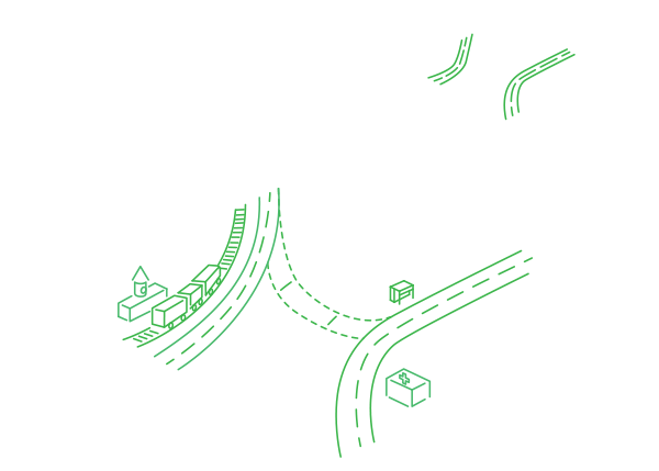
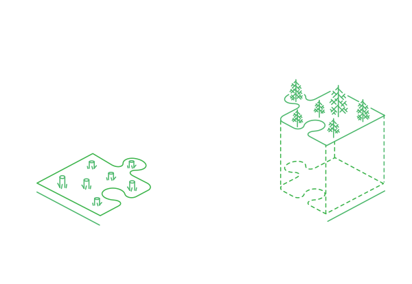
Software solution for state forest management bodies of Great Britain
Forester - a multi module system developed for Esri UK and Forestry Commission (state organization in the UK responsible for forestry).
The system was developed for managing forest resources, and allows to store and process data on the forestry fund, to plan the life cycle of the forest, to forecast the clear felling, and to automatically generate reports with maps and diagrams.
The Forester system capabilities allow to go beyond its initial purpose of forestry management, which is illustrated by the road network management and tourism infrastructure modules. Moreover, the system can be easily extended and customized based on the other organizations needs.

Esri Business Analyst
Powerful marketing tool used to calculate driveways, to find an optimal new store location, to optimize marketing researches, and to prepare business decisions based on trends and patterns.
With Business Analyst you can run analyses from a single desktop or share across an enterprise to make smarter decisions about your business, customers, and marketplace.
Data East has been taking part in the Business Analyst development since 2003.
Regional GIS for citizens of Yamalo-Nenets Autonomous Okrug
Unified cartographic system of Yamalo-Nenets Autonomous Okrug in Russia is a fully functional GIS provided for aggregation, storage, and update of large cartographic and thematic data volumes (electronic maps, satellite images, etc.) and managing access to published data for users.