
Delivery and processing of geodata
Sets of vector cartographic and remote sensing data, topographic maps from leading data suppliers, as well as professional services on spatial data aggregation, processing, analysis, and conversion.
Imagery and data
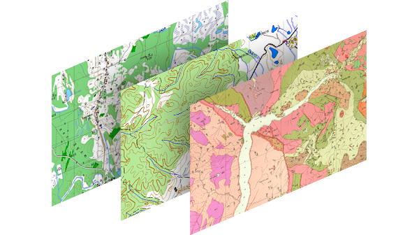
Vector data
Sets of vector cartographic and remote sensing data on any region of Russia, as well as derived thematic maps in vector formats on your request.
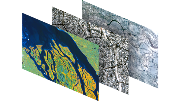
Satellite imagery
Satellite and aerial images from leading suppliers. Order of any available archive data or a new survey is possible.

Data transfer and synchronization
Integration of any geodatabase with ERP, CRM, POS, Business Intelligence, eCommerce Storefront and other IT systems, and with the most common DBMS, such as Microsoft SQL, Oracle, PostgreSQL, MySQL etc. to transfer spatial data to GIS, optimize their storage structure and enable their synchronous exchange.
Data conversion
Use of own software tools and technologies to automate lossless conversion of large data volumes in SXF, TAB, WOR and other formats to ArcGIS geodatabase.


Data analysis
Development of custom solutions for spatial analysis of geodata, preparation of data for effective use of geomarketing tools, and creation of tools for spatial modeling.