New CarryMap version for Windows released
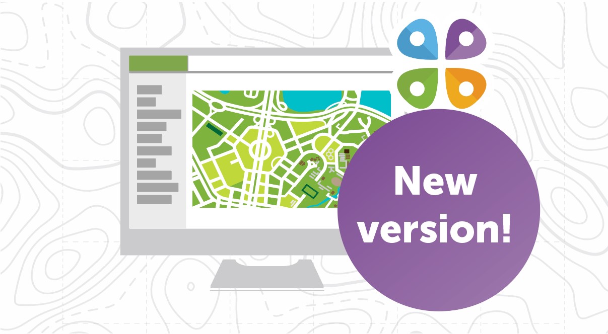
We are happy to announce that the new CarryMap for Windows has been updated and is available for download in mobile app stores and on the website. Download CarryMap and find out what features and improvements have been implemented!
New CarryMap desktop version has been released and is available for download. The update represents new tools for working with the map, as well as fixes related to overall stability and performance.
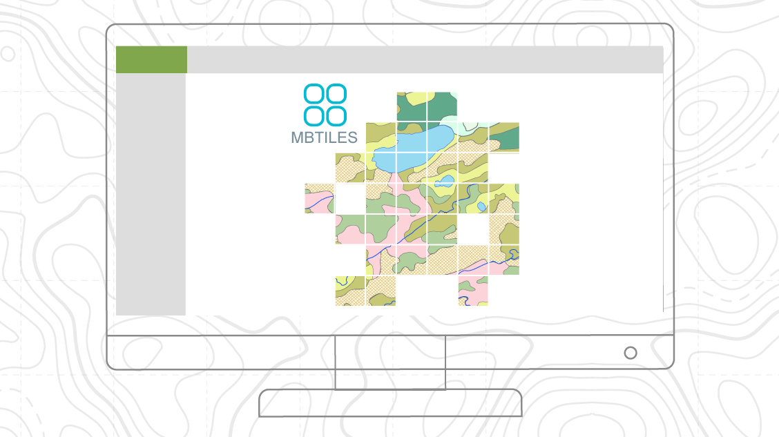
Support for MBTiles
New option to work with raster maps in MBTiles format has been added.
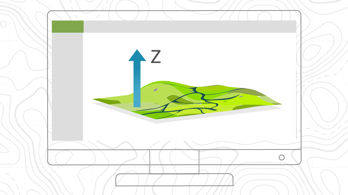
Height of the point feature
New option to add and view Z coordinates when creating and editing point features has been implemented.
Graphic notes
Tools for creating graphic marks on the map as a custom shape, text or arrow has been added.

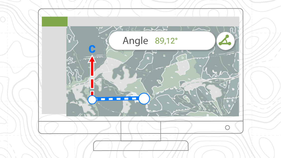
Geographical azimuth
New tool for measuring the geographical azimuth between points has been added. Now it is possible to navigate on the map using azimuth.
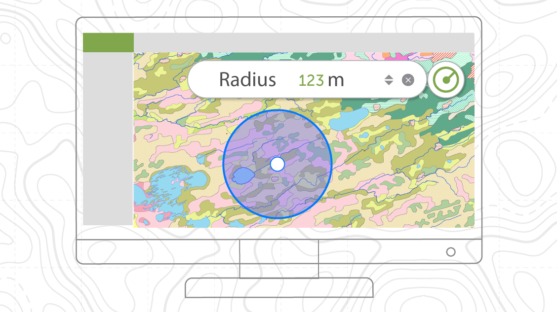
Measuring the circle radius
New tool for measuring the radius of a circle with the center at the selected point by a given value is added. The tool allows you to display a circle of a given radius on the map and determine which objects fall into it.
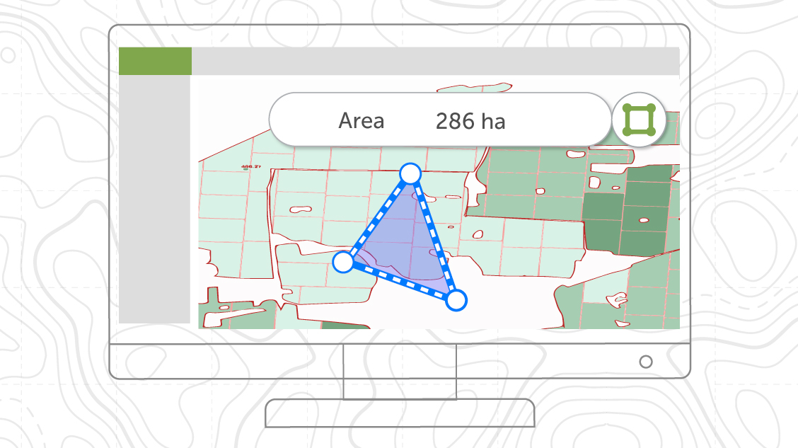
Measuring the area in hectares
The possibilities of calculating the area on the map are extended. Besides square meters or kilometers you can now also choose hectares as the area measurement units. Calculations are made in selected units.
Other
Fixes related to stability and performance.